Advanced Geological Surveying for Impossible Mountain Terrain
When conventional methods are challenged by the extreme conditions of mountain environments, Lumiquaflorest delivers unparalleled precision. Our advanced remote sensing technology secures critical data where others cannot reach, transforming inaccessible sites into actionable insights.
- Sub-centimeter accuracy in extreme mountain conditions
- Proprietary remote sensing technology for inaccessible terrain
- Drastically reduces surveying time compared to traditional methods
Precision Surveying Technology Built for Mountain Challenges
Sensor Array & Accuracy Standards
Lumiquaflorest's surveying equipment integrates multi-frequency GNSS receivers, LiDAR scanners, and high-resolution photogrammetry sensors. Achieving sub-centimeter accuracy in both static and kinematic modes, even amidst GNSS signal obscuration common in deep mountain valleys, our systems provide verifiable data precision.
- Vertical Accuracy: ±5 mm
- Horizontal Accuracy: ±3 mm
- LiDAR Point Density: 1000 pts/m² @ 100m AGL
Extreme Environmental Resilience
Engineered for the planet's most demanding environments, our gear operates reliably from the scorching alpine sun to profound sub-zero conditions. With IP68 ingress protection and robust aerospace-grade materials, Lumiquaflorest equipment guarantees continuous operation in dust, heavy precipitation, and extreme temperature fluctuations.
- Operational Temp: -40°C to +55°C
- Wind Resistance: Up to 60 km/h (UAV)
- Battery Life: 8 hours continuous (Ground Unit)
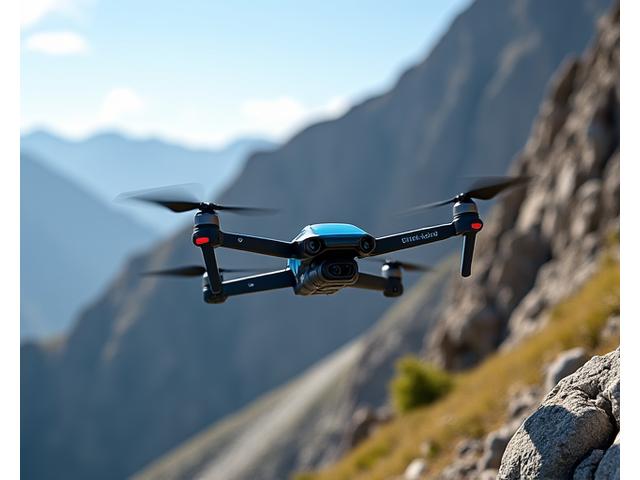
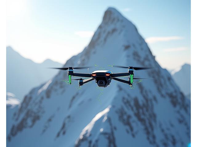
Remote Sensing Solutions for Inaccessible Mountain Sites
Lumiquaflorest's remote sensing portfolio transcends traditional boundaries, offering drone-based, autonomous, and satellite-integrated systems. These solutions significantly mitigate risk by keeping personnel out of hazardous zones while delivering comprehensive, multi-sensor data fusion for advanced analysis.
- Dedicated drone fleets for rapid deployment and data acquisition
- Real-time data transmission and cloud processing capabilities
- Enhanced safety protocols and reduced field exposure for personnel
- Integration with high-resolution satellite imagery for regional context
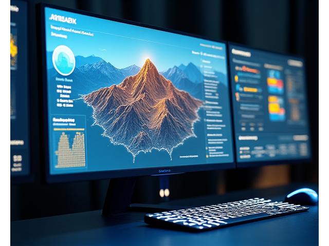
Complete Data Analysis and Mapping Platform
Our proprietary data analysis platform transforms raw geotechnical and terrain data into intuitive, actionable intelligence. With advanced geological modeling, AI-powered terrain analysis, and seamless integration with industry-standard CAD and GIS systems, project managers gain unparalleled insights.
- AI-driven geological modeling and terrain deformation tracking
- Customizable dashboards and automated reporting for stakeholders
- Real-time data synchronization and collaborative project spaces
- Seamless export to AutoCAD, ArcGIS, and other industry-standard software
Precision Surveying Results in Challenging Mountain Projects
Glacier Erosion Monitoring, Swiss Alps
Deployed our autonomous LiDAR systems to monitor glacial retreat and erosion rates across 15 sq km in the remote Swiss Alps. Achieved 98% data completeness and identified critical meltwater channel shifts.
Read Full Case Study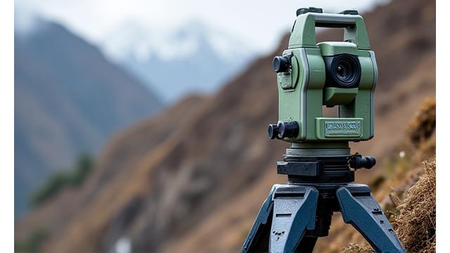
Andes Landslide Risk Assessment, Chile
Utilized multi-sensor remote sensing to identify unstable geological formations and pre-emptively map potential landslide paths after heavy seasonal rains, protecting local infrastructure and communities.
Read Full Case Study
Mineral Exploration, Rocky Mountains, USA
Provided high-resolution subsurface mapping for a mining operation in difficult Rocky Mountain terrain, precisely identifying ore body locations and significantly reducing exploratory drilling costs.
Read Full Case Study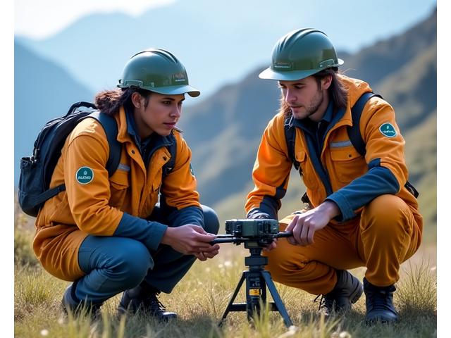
Complete Training and Technical Support for Surveying Teams
Beyond supplying cutting-edge equipment, Lumiquaflorest ensures your team is fully proficient through comprehensive training and continuous technical support. From initial setup to advanced data analysis, we provide the expertise needed to maximize your operational efficiency and data integrity.
- Certified operator training programs and field deployment workshops
- 24/7 technical support and expedited equipment maintenance
- Software proficiency courses for data processing and geological modeling
- Remote diagnostic capabilities for rapid issue resolution in any environment
Experience Advanced Geological Surveying Technology
Unlock new possibilities for precision and efficiency in mountain infrastructure projects. Discover how Lumiquaflorest's cutting-edge solutions can transform your next venture.
- Hands-on technology demonstration tailored to your project needs
- Complimentary site assessment and expert surveying consultation
- Custom technology configuration and comprehensive project planning